Resaca & Coastal Crossings
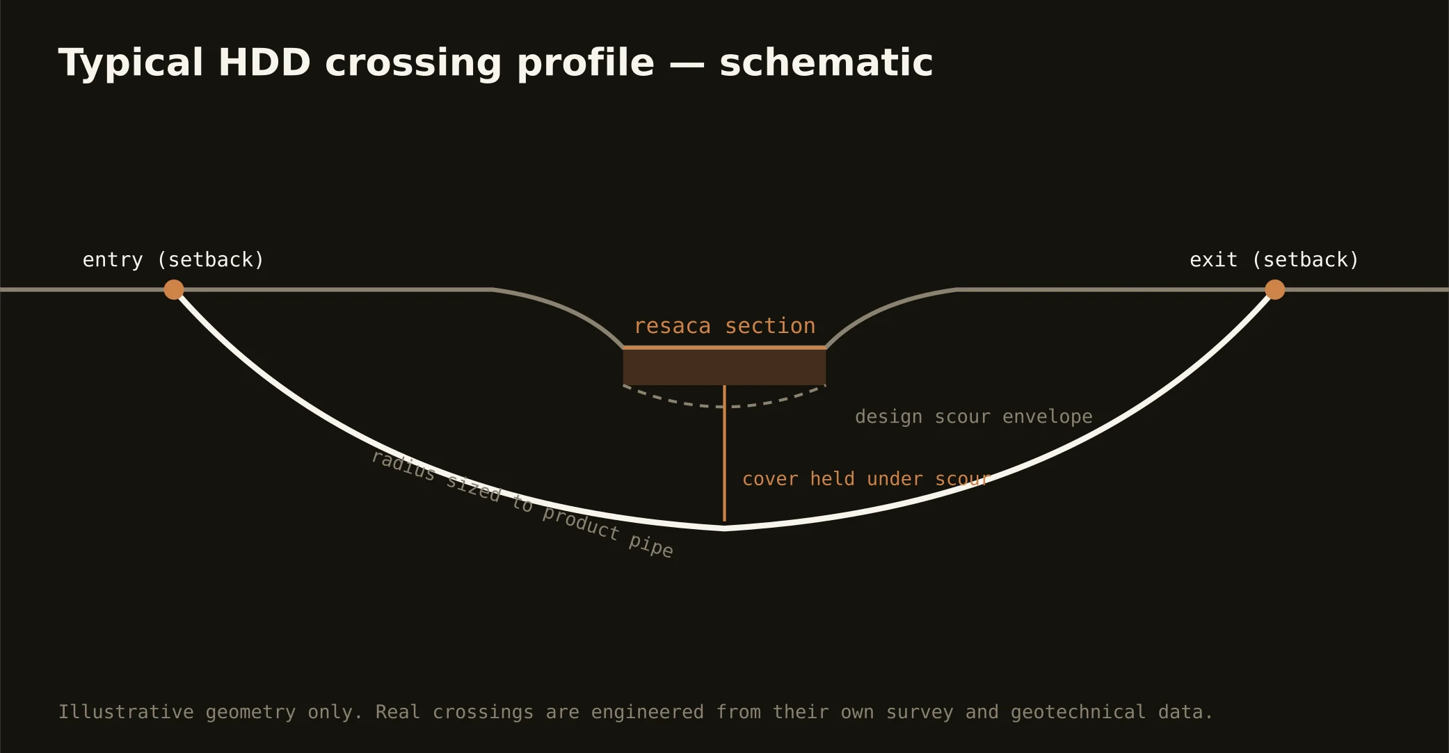
The resacas are Brownsville's fingerprint — the river's abandoned oxbows, curling through neighborhoods as ponds, parks, and drainage assets the community treats as civic treasure — and utility routes cross them constantly, which makes the resaca bore the signature local shot: entry and exit set back from the banks, a shallow-water profile holding honest cover under the bed, and a fluid program run gently, because these are beloved waters in front yards and an inadvertent return here is a neighborhood event. The resacas also work for a living — several serve as raw-water storage and drainage conveyance — so their managing utilities and districts join the permit picture with criteria of their own.
The coastal register scales the doctrine up: the ship channel's corridor carries port authority, navigation, and facility interests on the working banks; the laguna shore and the causeway corridor carry the estuary's environmental stack — the Laguna Madre being one of the hemisphere's rare hypersaline lagoons, with seagrass and habitat protections to match; and the wetlands and floodway machinery of the river's last miles, IBWC paper included, appears wherever alignments approach the international levee-and-floodway system. Our quotes name the actual stack for the actual water.
Technically the crossings ride the county's transition: resaca shots drill the delta's clays with tuned fluid and conservative pressures; channel- and laguna-side shots run the marine program — sands, muds, buoyancy, dewatered pits, and containment at estuary grade, with the response plan written before the pilot turns on every one.