Directional Drilling in Brownsville
A border city threaded with oxbow lakes, a deepwater port launching rockets and loading steel, and a barrier island at the end of the causeway. Lower Valley HDD is coastal-delta drilling in America's newest space town — and it's ours.
HDD is the whole job here
Cameron County is where the Rio Grande finishes: the river's last miles, the oxbow lakes it abandoned — the resacas that curl through Brownsville like a signature — and the shore itself, where the delta hands off to barrier island, laguna, and Gulf. The ground makes the same handoff. Inland, the old delta's heavy clays run deep and rock-free, drilling smoothly for crews who keep their fluid chemistry tuned to sticky soil; toward the coast, the section trades to barrier sands, tidal flats, and the laguna's soft muds, and the program trades with it — buoyancy, dewatering, and estuary-grade containment. One county, two grounds, and the quote names which one your alignment lives in.
The economy has been rewritten in a decade. At the county's eastern edge, the launch complex at Boca Chica turned a beach road into one of the most watched industrial corridors on earth, with the heavy utility appetite a spaceport brings; the deepwater port beside it stacks LNG construction, steel-making, and offshore fabrication on the ship channel's banks; and the international bridges keep the border trade moving through Los Indios, the B&M, and the Gateway. Harlingen anchors the upper county with its medical district and rail-served industrial base. It's a market where campus-grade coordination, marine-adjacent work, and long corridor runs all show up in the same week.
And through the middle of daily life run the resacas — beautiful, protected, and crossed constantly by the city's utilities, which is why the resaca bore is the signature local shot. Behind everything sits the network desk — 50,000+ boring calls answered, ~10,000 crossings quoted, 2,000+ drilled — pricing Lower Valley scope with the shoreline transition already in the math.
Fiber-Optic Boring
Launch- and port-corridor duct, bridge-trade laterals, and FTTH across the county.
Electrical Duct Boring
Feeders for the port's heavy industry, the launch corridor, and a hardening coast.
Water & Force-Main Boring
Pressure pipe for county systems from the river's edge to the island line.
Resaca & Coastal Crossings
The signature Lower Valley bore: under the oxbows, the channel's edge, and the laguna shore.
Road & Highway Crossings
City, county, and TxDOT crossings — from expressway frontage to the causeway corridor.
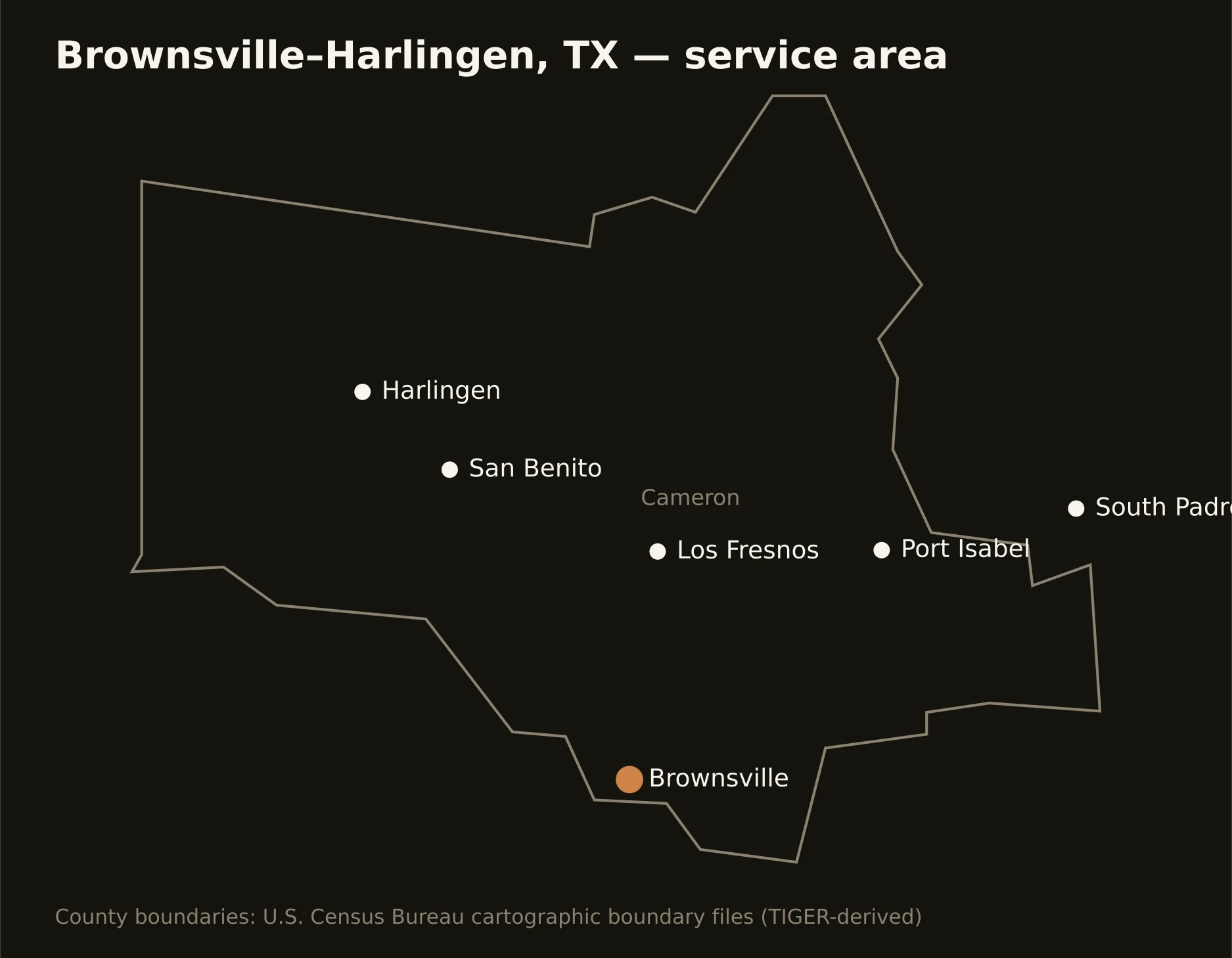
One county from the river to the surf — Brownsville's resaca-laced grid, Harlingen holding the upper county, the farm miles between, the port and launch corridor east, and the causeway out to South Padre's sand. Full county list on the service-area page.